Antarctic Exclusion Zone raised by 5 degrees to improve the safety of skippers
Since 2008, CLS, Official Supplier of ice data for the Vendée Globe, has been using technologies and satellites designed and deployed by CNES (French National Center for Space Studies) and ESA (European Space Agency) to detect icebergs threatening the skippers' route.
This year, a dozen satellites, including Sentinels 1 and 3, and no less than 300 radar images will be used to detect these UFOs (Unidentified Floating Objects) that haunt any sailor sailing in the southern seas.
CLS radar imagery analysts have detected around 20 questionable icebergs in about 50 images in the Crozet and Kerguelen area of the French Southern and Antarctic Lands (TAAF). Faced with these doubts, the Vendée Globe race management, after consulting with CLS teams, did not hesitate to raise the Antarctic Exclusion Zone by 5 degrees further north, lengthening this safety cordon by more than 400km. The Antarctic Exclusion Zone is a virtual zone where the skippers are forbidden to sail under risk of encountering these icy monsters, a crossing that could endanger their safety but also cost them penalties.
Let us also remember that space systems play an important role in rescue at sea. The rescue of Kevin Escoffier proved this on December 1, when the skipper triggered his COSPAS-SARSAT satellite distress beacon, the starting point of a rescue chain to which he owes his life.
Jacques Caraës, Vendée Globe Race Director: " CLS, which works closely with CNES and ESA, is a key partner of the Vendée Globe. We could no longer imagine a race like the Vendée Globe without iceberg detection and risk mitigation services like theirs. CLS has developed unparalleled expertise in iceberg detection, thanks to its innovative solutions, its teams are helping us to make the race safer by detecting these ice monsters that threaten skippers. And nothing would be possible without space agencies such as CNES and ESA, which are developing impressive and often unique space segments in the world. In advanced space applications, unity is a formidable force.
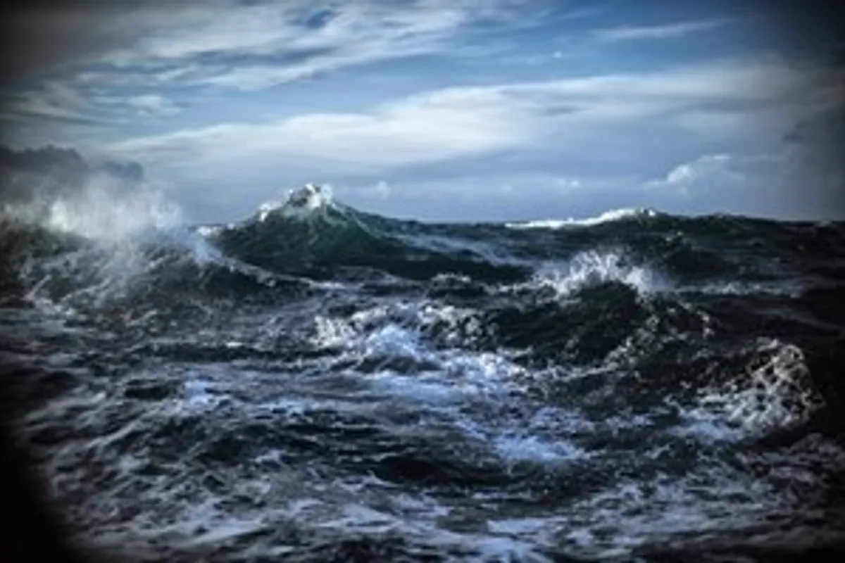
Antarctic Exlcusion Zone : major danger zone not to be crossed
The Antarctic Exclusion Zone (AEZ): 26,223 km in circumference, surrounds Antarctica and is home to several million icebergs. Among them, thousands have been clearly identified thanks to ESA and CNES satellites, and by the expertise of CLS teams in Earth observation and analysis.
Since July, CLS imagery analysts have been scanning altimetry curves and radar images for icebergs that could threaten seasoned Vendée Globe skippers.
A first version (V0) of this Antarctic Exclusion Zone was communicated this summer to the Vendée Globe Race Direction, then before the start: a slightly modified version (V1) was transmitted to the skippers.
Crucial information which impacts the race distance, performacnce results and the lives and equipment carried on board.
Space surveillance before and during the race
Step 1: Predicting risk areas with altimetry
Well before the start of the race, CLS teams worked on data from 4 altimetry satellites, normally used to measure mean sea level, and diverted from their primary use to pre-detect icebergs.
This was a very important step that allowed them to know where to focus their research with radar images before the race, but also in operational mode when the skippers are in the southern zones.
Sophie Coutin-Faye, head of altimetry projects at CNES: "Space altimetry consists of taking radar altimeters on board satellites orbiting the Earth, capable of measuring the height of the oceans with centimeter level accuracy. To put it simply, the principle of altimetry measurement consists of emitting a wave towards the ocean from a satellite whose position is known to within a few millimeters, and measuring its return travel time. The height of the water surface overflown by the satellite is thus deduced. The applications are numerous, including the well-known monitoring of the rise in the average level of the oceans in connection with global warming, but also that of a better understanding of ocean currents in all oceans which is particularly useful for navigation.
This high-precision technology was developed in the 1990s jointly by CNES and NASA and is now being extended to other agencies such as ESA. For the pre-detection of icebergs, it is important to know that when the altimeter beam encounters a mountain of ice, it causes a modification of the return echo (see graph) that must be analyzed to conclude that this is indeed the signature of icebergs. Obviously, we could not deploy altimetry satellites for this use alone, but I find it very interesting to have such unexpected applications as securing an ocean race such as the Vendée Globe."
STEP 2 : Detect the most threatening icebergs
ESA has given the race privileged access to the European Sentinel-1A & 1B satellites. These satellites, funded by the European Commission, are capable of taking radar images, day or night, and can even see through clouds.
The 400km x 400km images have a resolution of 50m.
The ESA satellites, Sentinel-1A & 1B were programmed well in advance of the race to provide images until the last skipper leaves the ice. The satellite programming was adjusted according to the routes and needs of the race, between mid-November and the end of December. To complete this strategic vision, CLS also uses the privately owned Canadian satellite Radarsat-2, which on order can provide a resolution of up to 25m.
Simonetta Cheli, Head of Strategy, Program and Coordination Office of ESA's Earth Observation Unit: "Sentinel-1 is a series of Earth observation satellites developed by the European Space Agency as part of the European Copernicus program, the first of which was placed in orbit in 2014.
"The objective of this program is to provide European countries with complete and updated data to enable them to control and monitor environnement. We are delighted that these data are now being used to improve the safety of Vendée Globe skippers".
STEP 3 : Track detected icebergs
It's possible to observe icebergs measuring 50 or 25m in size, but it’s the small icebergs (growlers) resulting from the melting and dislocation of the larger ones that are dangerous for the boats in the race.
This is why the use of the CLS drift model simulates the drift but also the break-up and melting of the icebergs in order to define risk zones
This drift and melting model takes into account the currents, the wind, the sea state (sea level height, etc.), the surface temperature as well as the shape and size of the iceberg.
As a result, CLS is able to provide Vendée Globe organizers with maps of the Southern Ocean with the location of iceberg populations and forecasts of their drift. CLS, in partnership with CNES and ESA, is supporting the Vendée Globe race management in its decision-making process.
Crozet Zone - Kerguelen : Antarctic Exclusion Zone raised as Icebergs detected on the skippers' route
About twenty icebergs were detected above the line, in nearly fifty radar images, in the Crozet- Kerguelen zone, in the TAAF, last week, which caused the elevation of the AEZ by 5 degrees, extending the circumference of this security cordon by more than 400km.
Sophie Besnard, Director of International Affairs, in charge of managing the Vendée Globe project at CLS :
"Since the start of the race, we have detected around 60 icebergs which have been identified as requiring close monitoring, most of them under the AEZ, except for those detected off the island of Crozet. In the Indian Ocean there is nothing for the moment, in the Pacific, there are a few icebergs, in front of the Ross Sea, where there is an area of very cold water. This year we are in a situation of lower iceberg density than in previous years. All our teams are mobilized, we still have half of the images to analyze by the end of the race out of the 300 planned. The most complicated period is after the passage of Cape Horn, the leader should pass this tense point a little before Christmas, the last one should pass it at the end of January. We are proud to be the Official Ice Data Supplier of the Vendée Globe and to be able to use the technologies and satellites developed and placed in orbit by CNES and ESA."
Kévin Escoffier, a rescue guided from space
On December 1st, navigator Kévin Escoffier saw his IMOCA break in two several hundred miles from the Cape of Good Hope (South Africa). Alone, in the middle of the icy ocean, facing the roaring forties, the skipper triggered his COSPAS-SARSAT distress satellite beacon (using data from the European satellite constellation Galileo), the starting point of a rescue chain to which he owes his life.
From the moment Kevin Escoffier sees his boat taking on water, everything speeds up, the moment water entered his racing boat within 4 minutes he was boarding his life raft.
The skipper of PRB will only had time to :
Put on his TPS suit, a wetsuit preserving him from hypothermia in case of immersion in cold water, it also replaces the life jacket since it ensures flotation and turning over on the castaway's back,
Trigger one of his COSPAS-SARSAT emergency beacons before boarding its lifeboat.
The triggering was crucial and allowed the teams on land to get ready to launch the rescue and organize the successful rescue of the experienced skipper.
Created during the Cold War by France, Canada, the United States and the USSR, the Cospas-Sarsat Program develops and operates a system for detecting, locating and transmitting distress alerts by satellite for search and rescue (SAR)
Cospas-Sarsat provides the international community with accurate and reliable location data to assist search and rescue operations, using space-based instruments and ground facilities to detect and locate distress beacon signals.
The international organization has been chaired by France since July 2020.
Since 1982, the Cospas-Sarsat system has helped save more than 50,000 people in over 15,000 distress situations. In 2019, 2,774 people were saved worldwide thanks to COSPAS-SARSAT systems during 1,032 Search and Rescue operations.
This event highlights the remarkable contribution of Cospas-Sarsat's new MEOSAR system. MEOSAR uses medium orbit satellites from the Galileo (Europe), GPS (US) and Glonass (Russia) constellations. The Galileo SAR service provided by the European Commission contributes significantly to this.
The distress signals emitted by the navigator's French beacon were transmitted by the French Cospas-Sarsat Mission Control Centre (FMCC) to CROSS Gris-Nez, the coordination and rescue center which acts as the international maritime contact point in charge of monitoring the Vendée Globe.
Racecarmarine race a J/80 race boat - Justify - with Racecarmarine branding in a number of events on the South Coast of the UK and have a good understanding of the marketing requirements for businesses in the marine sector. Contact us for details on how we can help with your project.