How do you optimise your sailing route based on weather forecasts?
Once participants in the Global Solo Challenge (GSC) reach the latitude of Fernando de Noronha, they will set course to approximately 155º, heading in the direction of the island of Tristan da Cunha, located at a distance of around 2200 miles at 37 06’S and 012 18’W.
During this long journey, GSC skippers will have to apply their best weather tactics in order to take advantage of the prevailing winds in the most favourable conditions possible.
Weather conditions will vary significantly along the route. Trade winds will accompany them till approximately 24 degrees South, past the Island of Trinidad (20° 27’S – 029° 20’W). After that, they will enter the variable weather zone, where their ability to sail with little wind will be put to the test once again.
Normally, the southern limit of south-eastern trade winds is a line that runs from the Island of Trinidad to Cape of Good Hope.
The position of the St. Helena High varies between the latitudes 22 -25 S and 30 -32 S. A variable area that extends south of the south-eastern trade wind belt. During the year its movement depends on the sun: in January it’s at its southernmost limit, in July at its northernmost.
These latitudes, known as “The horse latitudes”, are defined by light, shifting winds and calms.
Accounts from sailors on board the great ships of the past offer a number of different possible explanations for the peculiar name of this area. The most credible, and possibly the most logical, seems to be the one according to which, unable to sail for days due to the lack of wind and therefore unable to resupply, sailors had no choice but to throw their horses overboard to conserve scarce water.
Likewise, from a meteorological point of view, the South Atlantic Convergence Zone (SACZ) deserves a special mention. It can be defined as a monsoon of low pressure that is at its strongest during the warm season. Normally, it extends in a northwest-southeast manner across southeast Brazil into the southwest Atlantic Ocean. SACZ is an elongated axis of clouds, precipitation, and convergent winds.
Having logged thousands of miles and established a good mental and organisational solo sailing routine, after weeks spent at sea, GSC skippers will have to take advantage of this journey towards the “deep south” to review, repair, adjust, organise, improve… anything on board that has been affected by the miles travelled so far, including themselves!
They will make the most of the good weather still ahead of them before it’s time to start wearing warmer clothes as low pressures will bring much lower temperatures.
This journey, from the heat of Fernando de Noronha to the cold of Tristán da Cunha, will certainly keep participants busy from a tactical as well as a technical and mental point of view. They will have to prepare their boats for the cold and harsh conditions ahead of them. They will also have to acknowledge that the hard part is yet to come, and that their physical and mental strength is one of the most important means to overcome the difficulties ahead.
Click here for more on the Global Solo Challenge
Text: Sefo for Globl Solo Challenge
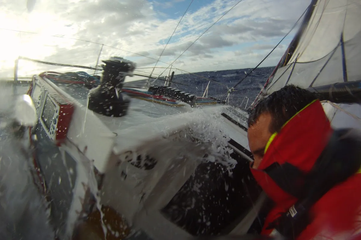
Image: Global Solo Challenge
Racecarmarine race a J/80 race boat - Justify - with Racecarmarine branding in a number of events on the South Coast of the UK and have a good understanding of the marketing requirements for businesses in the marine sector. Contact us for details on how we can help with your project.